APHIS in Action
Every day, APHIS works to protect the health and value of America's agricultural and natural resources. These articles and maps tell a story about how we are tackling some of the biggest issues facing U.S. agriculture and natural resources today.
Interactive Story Maps
As an animal and plant health agency, geographic information systems (GIS) are critical to our work. We survey for pests and diseases, set quarantine boundaries, and track wildlife hazards, among other tasks that require spatial awareness. We use GIS to visualize, analyze, and interpret data, formulate policy, and make operational decisions. GIS technology ensures we are more efficient in our work, which leads to cost savings, better record keeping, and improved communication internally and externally. The interactive maps in this gallery represent APHIS’ many programs.
Plant Protection Today
APHIS Plant Protection and Quarantine (PPQ) employees collaborate with many partners, cooperators, and stakeholders to protect plant health. To keep us on the leading edge, PPQ explores scientific frontiers, develops new plant protection methods, and makes critical advancements that safeguard our nation’s agricultural and natural resources while facilitating the safe global trade of agricultural products. These stories highlight some of our most successful and impactful programs and activities.
PPQ’s Lacey Act Declaration Data Helps Build the Case for Illegal Plywood
Federal and State Employees Double Down to Eradicate Fruit Flies
National Wildlife Research Center Spotlights
National Wildlife Research Center researchers are dedicated to finding biologically sound, practical, and effective solutions for resolving wildlife damage management issues. The following spotlights showcase our expertise and holistic approach to addressing today’s wildlife-related challenges.
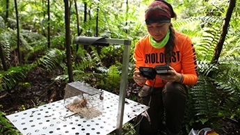
Recent work with wildlife cameras has led to a new method for estimating potential predation risks to native birds by brown treesnakes.
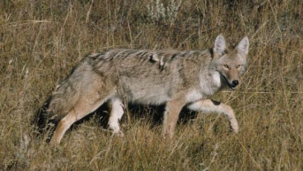
Wildlife Services monitors plague activity in wildlife. Their research results support the use of predators, such as coyotes, as sentinel species to track plaque occurrence on the landscape.


